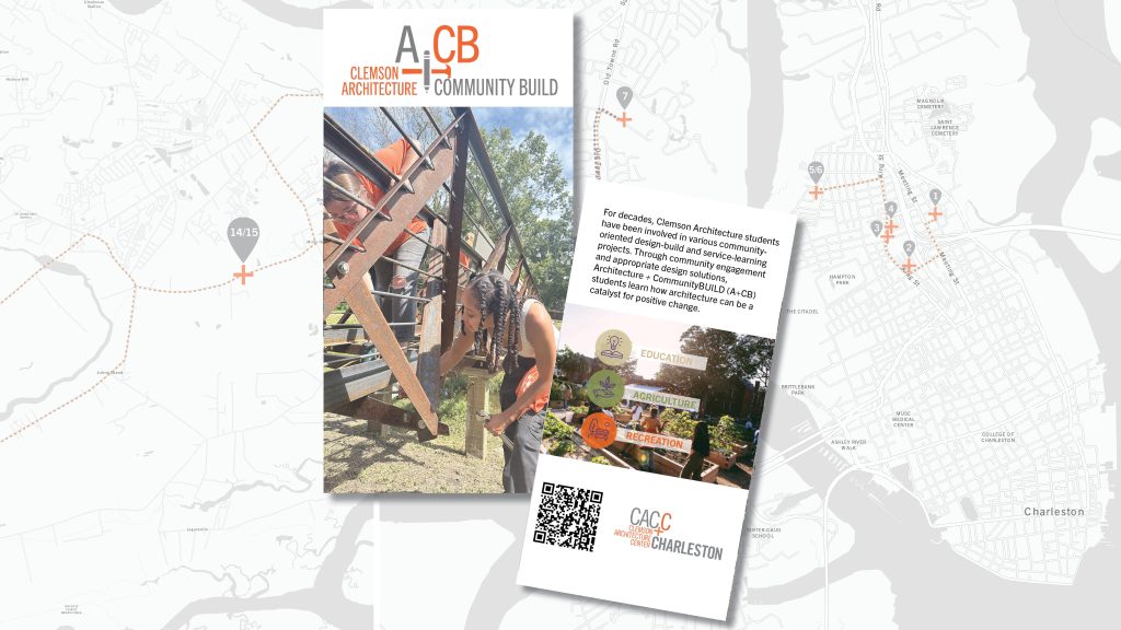
New interactive map allows easy touring of Clemson’s communityBUILD sites around Charleston
June 5, 2024The Clemson Architecture Center, Charleston (CAC.C) has developed a new resource that highlights and provides a story map for friends of Clemson to engage with structures designed and constructed by students in the Architecture+communityBUILD certificate program.
Since 2011, the CAC.C has partnered with community organizations to design and construct community-oriented design-build projects across South Carolina. In 2014, the School of Architecture (SoA) created the Architecture+communityBUILD certificate program (A+cB) and, over this time, has successfully designed and built seventeen permanent structures for organizations in and around Charleston.
To more easily share the work with the general public, CAC.C Director Bradford Watson and graduate student Erica Behm joined forces to develop a GIS story map that provides information, photos and the address of each structure that the A+cB program has constructed.
“We landed on the format of a GIS story map because it provided a great balance of mapping and project visuals,” explained Behm. “The visuals are to help visitors easily identify the location and the project they are looking for.”
The story map also provides three suggested tours: the Peninsula Tour, which can be a walking tour, bike tour or driven; the West Ashley Tour, which can be accessed by bike or car and the James and Johns Island Tour, which can be completed by car.
“The map and tour guide creates a way for the general public, prospective students and non-profit organizations interested in the work Clemson students do while in Charleston to not just learn about but also experience the long-term positive impacts the program has on the community,” Watson said.
Watson explained that the guides are set up in three geographic regions and can also be sorted based on the structure’s performance, whether it is to serve an educational, agricultural or recreational purpose.
Behm said she hopes this resource can inspire younger children to visit and empower them to help their community in meaningful ways.
“The school and the work that A+cB students have created over the years is a valuable resource to Charleston,” Behm said. “I hope this resource inspires younger children to visit and aspire to help their community in meaningful ways, such as these installations do.”
Director of the Clemson Design Center, Charleston and Coordinator of the A+cB certificate, David Pastre, is thrilled with the new interactive map. “The map beautifully shares the impact that the A+cB program has had on the built environment in the Lowcountry and provides a platform for us to share the projects our students collaborate on with the Charleston community.”
The GIS story map can be accessed online, and printed copies of the guide are available at the Clemson Design Center Charleston, located in The Cigar Factory on East Bay Street.
As new projects are completed in the A+cB studio, they will be added to the digital story map and tour guides, while new print versions will be created and available to the general public annually.


