


Richland County GIS recognized statewide for tools utilized during October flood
August 8, 2016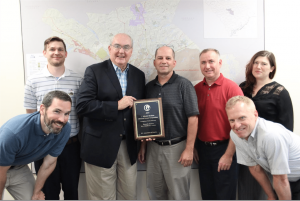
Richland County’s innovative mapping and geospatial tools that helped provide crucial information during the October 2015 flood have been recognized with a statewide award.
The Richland County Geographic Information Systems (GIS) Division received an honorable mention accolade for the J. Mitchell Graham Memorial Award, which recognizes counties that address community challenges, implement operational improvements or enhance citizens’ quality of life in a unique way. The award is presented at the South Carolina Association of Counties conference held annually in Hilton Head.
GIS, which is part of the County’s IT Department, submitted an application for consideration for the award that detailed its services provided to first responders, County officials and residents during the October 2015 flood. GIS created a Road and Dam Status Viewer that showed dam breaches and closings, implemented a Flood Data Viewer that assisted County departments in their efforts to record and analyze flooding impact and helped facilitate a Flood Inundation Tool that uses aerial imagery to show flood damage with jarring before-and-after visuals.


“With only a handful of team members, the GIS staff was able to quickly stand up several dynamic mapping tools that included significant quality assurance procedures necessary in such a critical time,” said Dr. Pat Bresnahan, geospatial information officer for Richland County.
All of these mapping tools were made available for public use at www.richlandmaps.com. Woolpert, Inc., a technology company based out of Dayton, Ohio, assisted Richland County GIS in the creation of the Flood Inundation Tool and flew aerial imagery used during the event response and recovery phases. Online mapping data were updated regularly by GIS staff to reflect real-time situations and statuses, keeping emergency responders across the field up to date with the more recent data available.
What is unique about GIS’s effort is that each of the applications were based on low-cost or free open-source technologies stored and managed outside of Richland County, in the cloud. The use of residents “as sensors” (via Google Maps Traffic, submitted photographs, social media, etc.) and the incorporation of geo-tagged social media in such a disaster was also quite innovative.
“What’s important to share with other counties is that the growing use of open-source technologies, particularly in GIS, is very effective and robust at little to no cost to the organization,” Bresnahan said. “During this disaster, such technologies have proved to be the future of larger systems.”
During non-emergencies, Richland County GIS provides a wealth of information that is the foundation for other departments’ daily tasks, such as identifying conservation easements for the Conservation Department, providing integrated mapping for the County’s E-911 system, identifying property and land parcels for taxation purposes with the Assessor’s Office and much more. To learn more about Richland County GIS and the variety of services it provides, visit www.richlandmaps.com.